


Alaskan salt marshes offer insight to understudied, but dynamic environments


KINGSTON, R.I. – Aug. 13, 2025 – The most powerful earthquake in U.S. history originated along the south coast of Alaska on March 27, 1964. It measured 9.2 on the Richter scale, triggered a tsunami that endangered people as far south as California, and altered the Alaskan landscape dramatically.
When the earthquake lowered or lifted land in areas such as Anchorage and the Copper River Delta, it created a new, complex landscape of coastal wetlands. Since the powerful quake, salt marshes have reemerged, providing habitats for shorebirds, salmon, beaver, and moose. These wetlands have a significant impact on wildlife, coastal flood protection, pollutant trapping, nutrient distribution, and carbon storage, but questions remain about their geology and ecology.
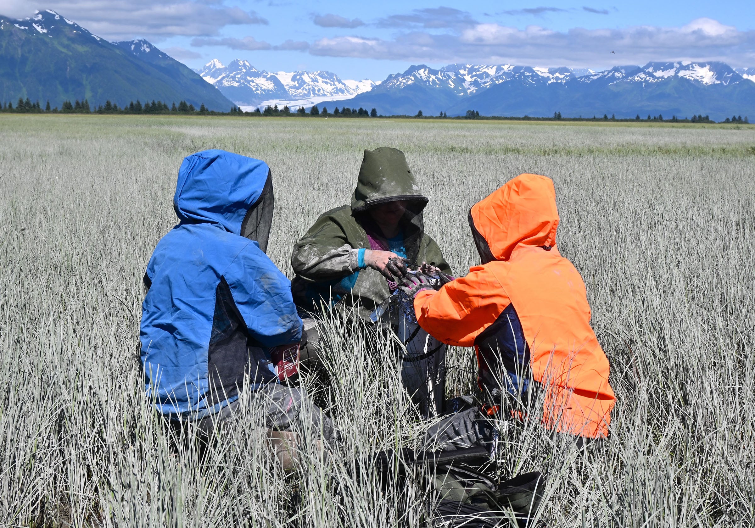
Erin Peck, an assistant professor in the Graduate School of Oceanography at the University of Rhode Island, traveled to Alaska this summer with Emily Hall, who is pursuing a master’s degree in oceanography at URI, to study these seasonally thawed, tectonically active marshes. Peck co-led the expedition with Kendall Valentine, an assistant professor from the University of Washington, and Sophia Wensman, a researcher from the Desert Research Institute. Kendall Fontenot, a graduate student from Valentine’s lab, was the fifth member of the team.
“The salt marshes in Southcentral Alaska are scientifically very interesting given the tectonic, glacial, and complex trophic influences,” said Peck.
The research team collected sediment cores and associated data across seven sites around Anchorage and the Copper River Delta. While some sites were accessible by foot, others required transport via airboat.
“We had to be careful about the extreme tide range at some sites, and we didn’t want to cross the mudflats around Anchorage, which can be very dangerous,” said Peck. “The sediments have a texture that results in people getting stuck in the mud. If you wiggle or thrash around to extricate yourself, you can sink deeper, and it would be very difficult for people to pull you out. Because the tides are so large, people can drown before the first responders arrive.”

A unique ecosystem
The Copper River Delta is one of the largest deltas in North America. Deltas form when fast moving water, such as a river, meets a slower body of water, like the sea. When fresh water, saltwater, and mud mix, a dynamic environment and unique habitats are created. As the mud settles, it traps carbon.
Despite the abundance of these high-latitude wetlands, little data has been collected until now, partly because they are difficult to access and the working conditions can be harsh.
“The sheer size was very impressive, especially in the Copper River Delta,” said Peck. “The salt marshes are expanding rapidly, which is rare. Most salt marshes in the United States are vulnerable to degradation and drowning under sea level rise and land use change.
“The sediment in the Copper River Delta contained a lot of iron and it was so anoxic that you could smell it,” she noted. “It was very dense and heavy—we even found rocks in the marsh. It was amazing to see how close the marshes were to the glaciers and mountains. The sediment from the glaciers was very sticky.”
The diversity of vegetation and animals also fascinated Peck and her peers.
“I was told there are more than 40 common species of salt marsh vegetation in Alaska,” said Peck. “Along the Pacific Northwest coast, there are only about 20 and along the East and Gulf coasts there are less than 10.”
According to the Alaska Department of Fish and Game, the Copper River Delta is also a productive summer nesting habitat for thousands of waterbirds, including dabbling ducks, mergansers, red-throated loons, a high percentage of the world’s population of dusky Canada geese, and more than 10 percent of the world’s trumpeter swans. Each spring, 80% of the western sandpipers and dunlins in the world migrate through the Copper River Delta.
Testing samples in the lab
Over the next year, the cores Peck and Hall collected, some of which were as long as three meters, will be studied in Peck’s Coastal Sediment Dynamics and Biogeochemistry Laboratory using computed tomography (CT) scanning to visualize the sediment layers and gamma detection to record changes in the marsh elevation over time. Organic matter and carbon will also be measured.
“We’ll start processing these cores right away to learn more about the different layers and rates of change in the marshes,” said Peck. “We hope to develop a better understanding of how these salt marshes grow, how they record the history of the area, and how they bury carbon.”
The field work and subsequent testing in the lab, provides valuable hands-on research experience for Hall.
“Traveling to Alaska’s salt marshes to collect samples was an unforgettable experience,” said Hall, who resides in Providence. “The layers of earth revealed in the sediment cores is a powerful reminder of how vital salt marshes are at recording and preserving recent geological events, such as earthquakes, tsunamis, and sea-level changes.”
Latest All News
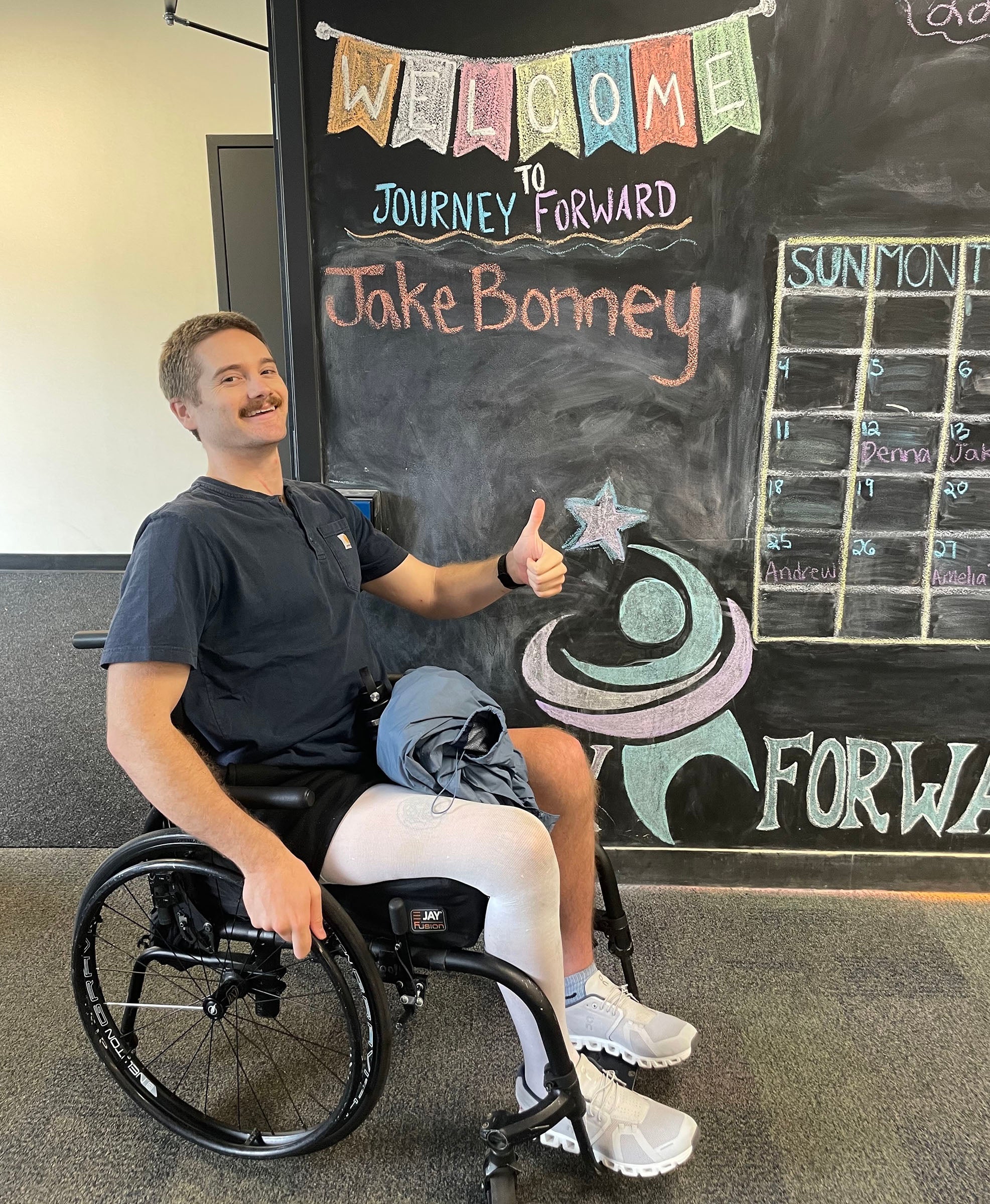
- While battling back from paralyzing accident, URI student searches for shipwrecksKINGSTON, R.I. – Aug. 13, 2025 – Heavily influenced by his father’s role as a naval architect, Jake Bonney dreamed of working in ocean science from a young age. “Growing up, I went into the office with him and tagged along on boat launches and stability tests,” said Bonney. “My father printed out drawings of […]
- URI physics professor receives NSF CAREER award for research in quantum information processingKINGSTON, R.I. – Aug. 12, 2025 – University of Rhode Island physics professor Wenchao Ge has been awarded a National Science Foundation Faculty Early Career Development (CAREER) Program award to explore a novel technique for improving the performance of trapped-ion quantum information processors. NSF CAREER recognition is one of the nation’s top awards for early-career […]
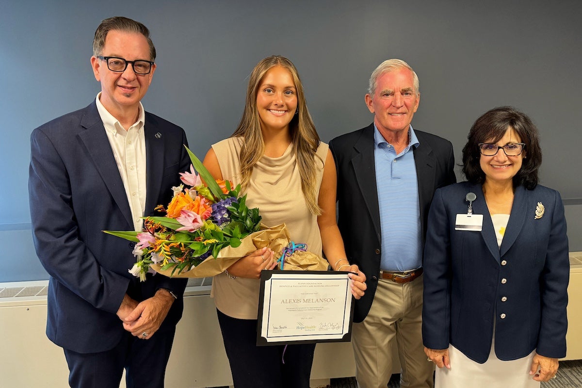
- URI nursing student gets hands-on experience in palliative careKINGSTON, R.I. — Aug. 12, 2025 —University of Rhode Island College of Nursing student Alexis Melanson is the latest participant in the Susan D. Flynn Palliative Care Undergraduate Fellowship. Melanson, a senior from Leominster, Mass., received a certificate of completion during a ceremony at HopeHealth Hospice Center in Providence on Aug. 1. The Center partners […]
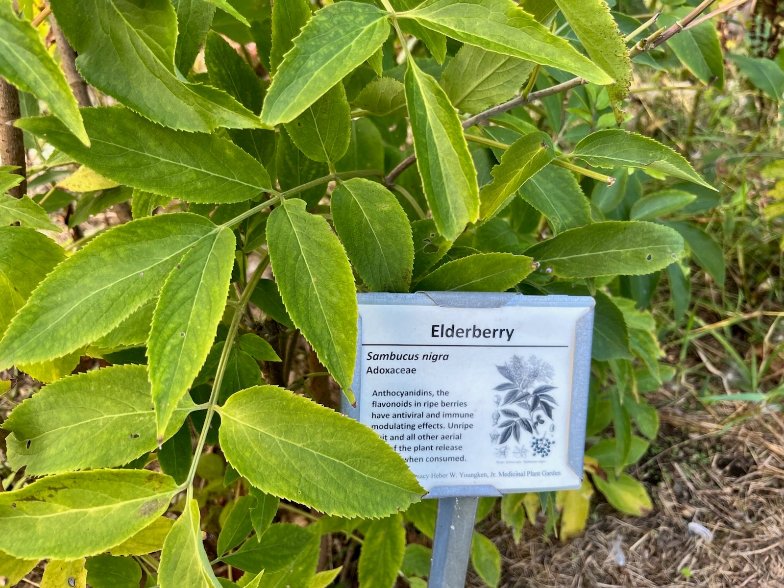
- URI’s medicinal garden offers up-close look at the roots of modern medicine, open to the publicKINGSTON, R.I. – Aug. 12, 2025 – We don’t know if Heber W. Youngken Jr. was a Joni Mitchell fan but his namesake garden at the University of Rhode Island neatly reverses her 1970 hit, replacing a parking lot with a paradise. The garden is named after the College of Pharmacy’s founding dean, a pioneer […]
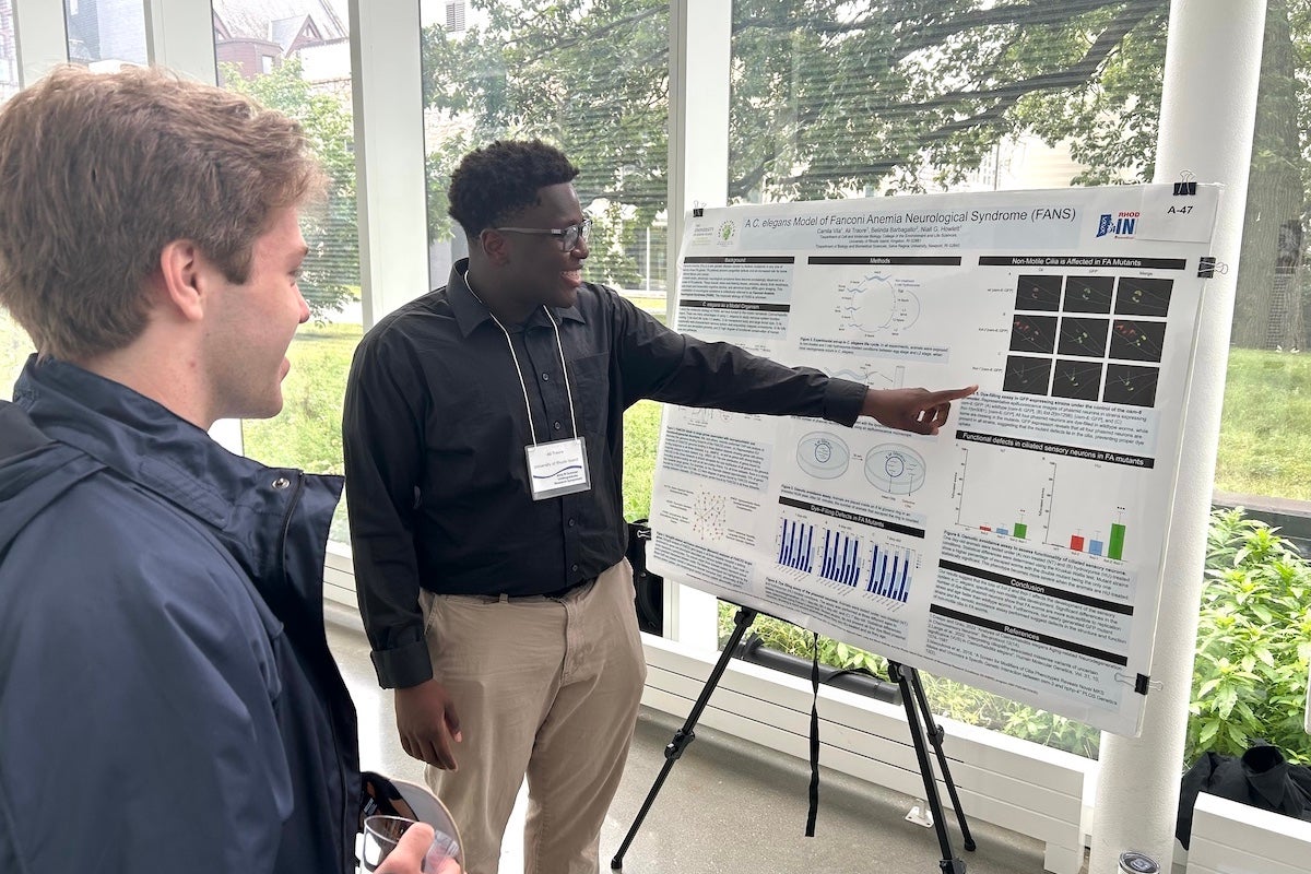
- Student researchers present dynamic biomedical studies during Summer Research SymposiumKINGSTON, R.I. — Aug. 7, 2025 — More than 350 students and faculty members from 10 colleges and universities around the state converged on the University of Rhode Island Aug. 1 to showcase 150 biomedical research projects they’ve spent the summer studying, as RI-INBRE, RI-EPSCoR-NEST, and Navy STEM hosted URI’s 21st annual Summer Research Symposium. […]
- URI Magazine Summer 2025Learn about a film bringing a mythic local tradition to life, URI's land-grant university mission, the mystery behind Isabella Stewart Gardner Museum's famed art heist—and much more.